Hi there, I'm Adly
Designer. Creativity Enthusiast.
⚠️Under Construction
1000 Visuals
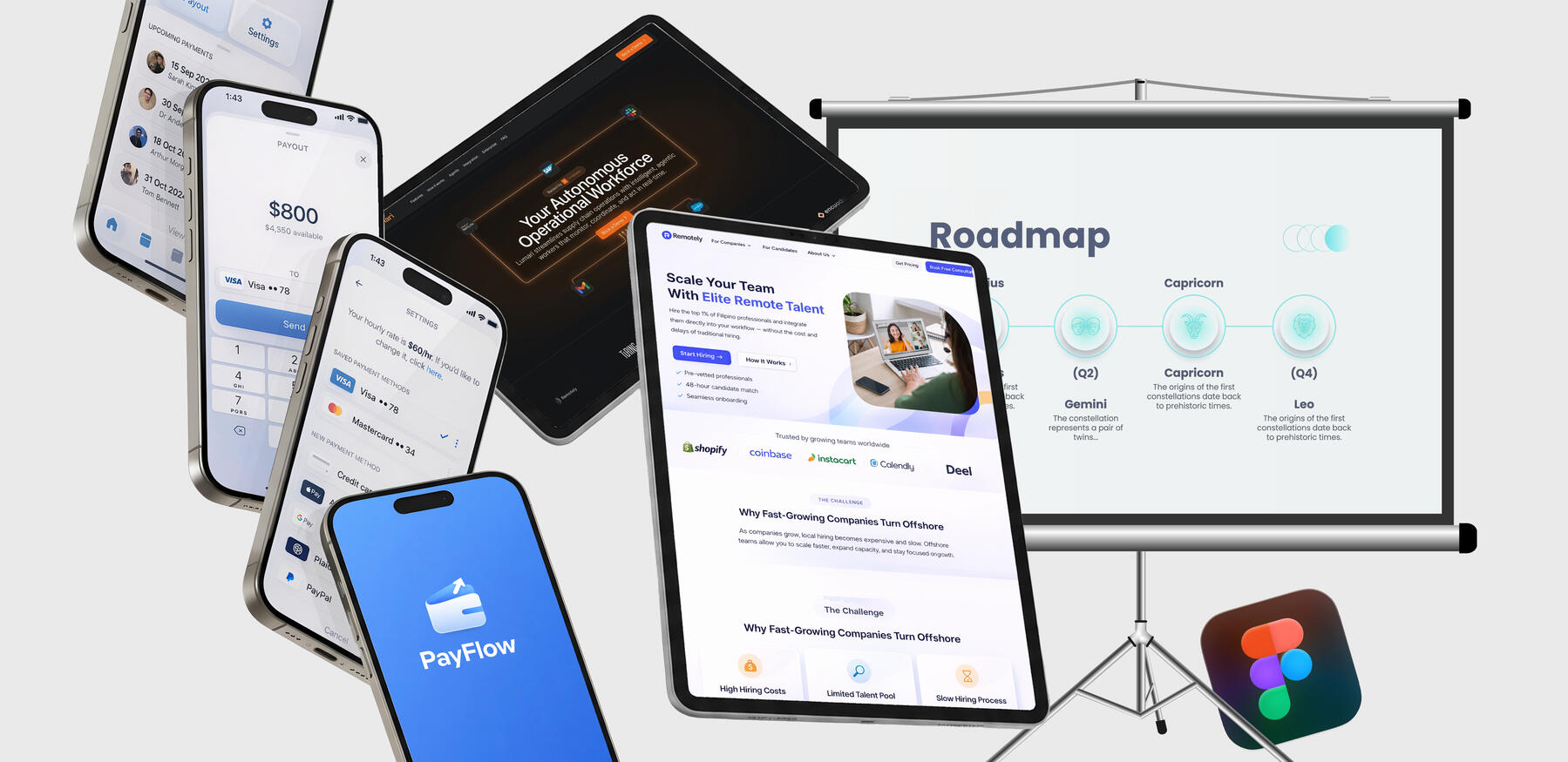
Growing collection of Visual Design Explorations
1000 Dashboards
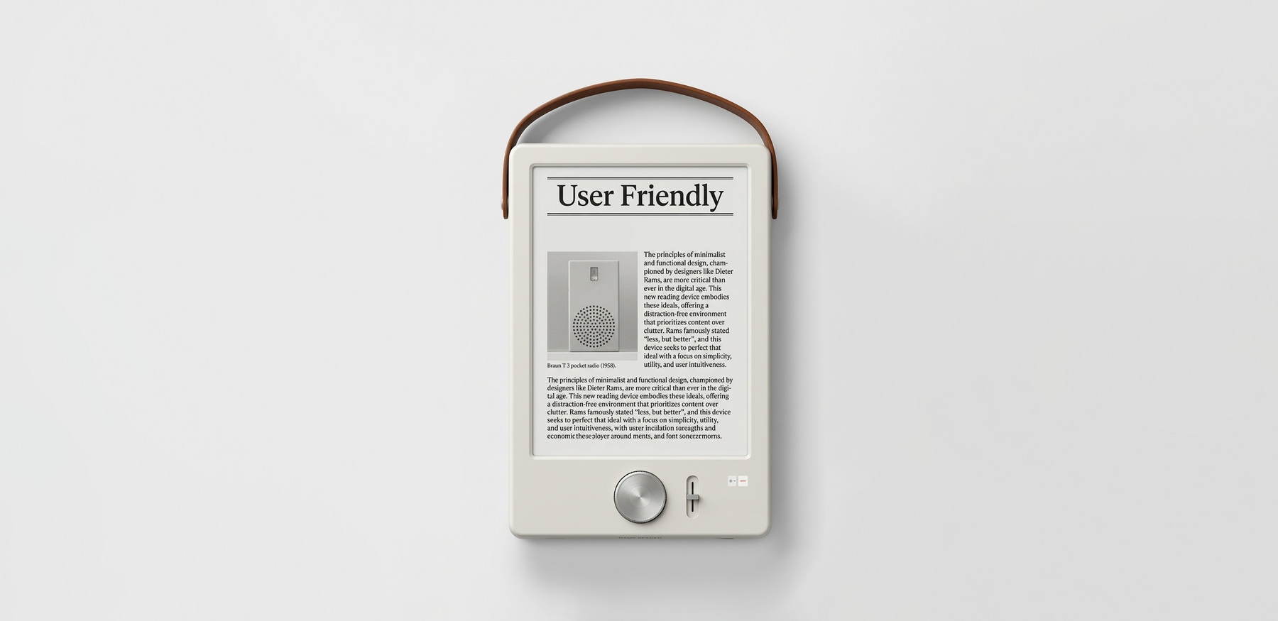
Growing Collection of UI/UX Design - Past and Spec Work
SurfaceAMS
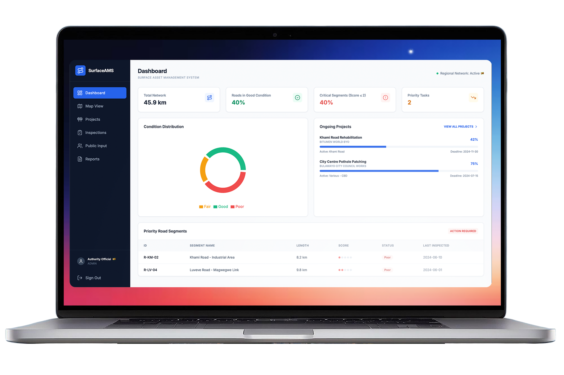
Unified platform for monitoring, planning, and managing road infrastructure.
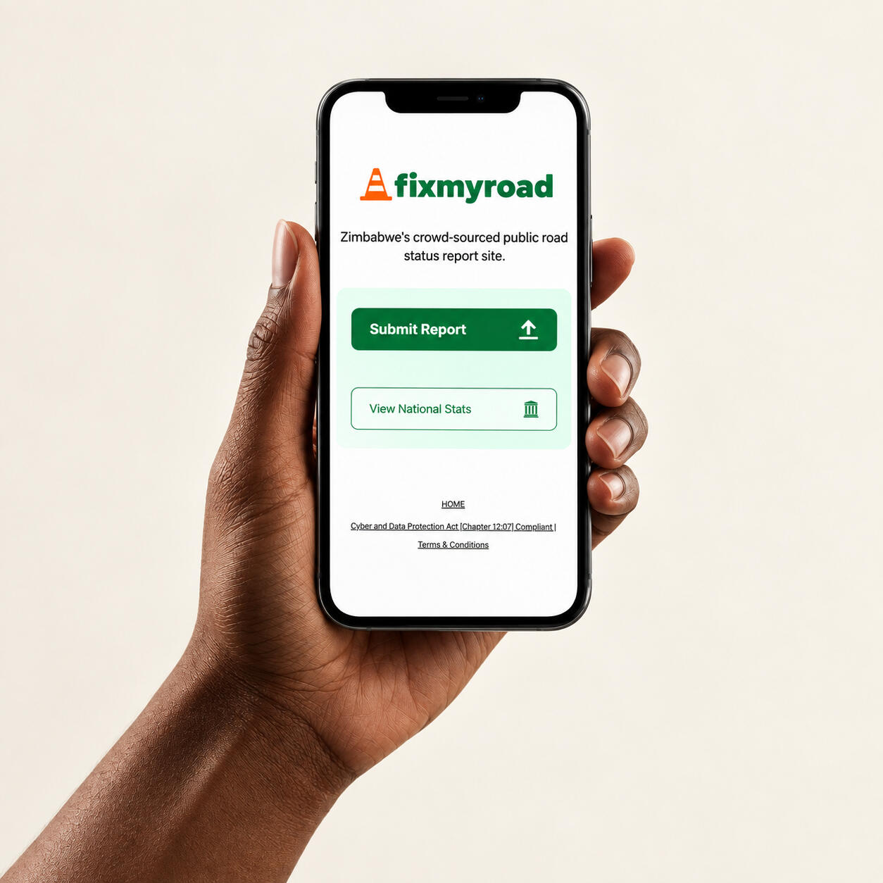
The FixMyRoad Initiative
My current thoughts on design, technology and creativity
• Latest article
About me
Product Designer. Engineering & Creativity Enthusiast.
I run Dot Design, my freelance design practice where I work with tech startups and FMCG companies on product design, interfaces, and brand assets. I also serve as Product Design Manager at Marytechenock Solutions, designing and prototyping apps while contributing to product launch and marketing strategy.My journey into design began in 2018 when I started freelancing, working with small businesses on branding, digital design, and marketing materials. That early freelance work led to my first in-house role at Dandemutande, where I worked as a graphic designer from 2020 to 2023. There I collaborated closely with the marketing team, helping grow the company’s social media audience by around 250% and supporting the launch and improvement of their brand websites and web apps and internal UX tasks.After that, I worked with Dendairy, Zimgold and parent brand ETG-Parrogate, focusing on digital marketing and packaging design. During that time I developed and refreshed packaging across more than 30 SKUs, before moving further into product design and startup-focused work.
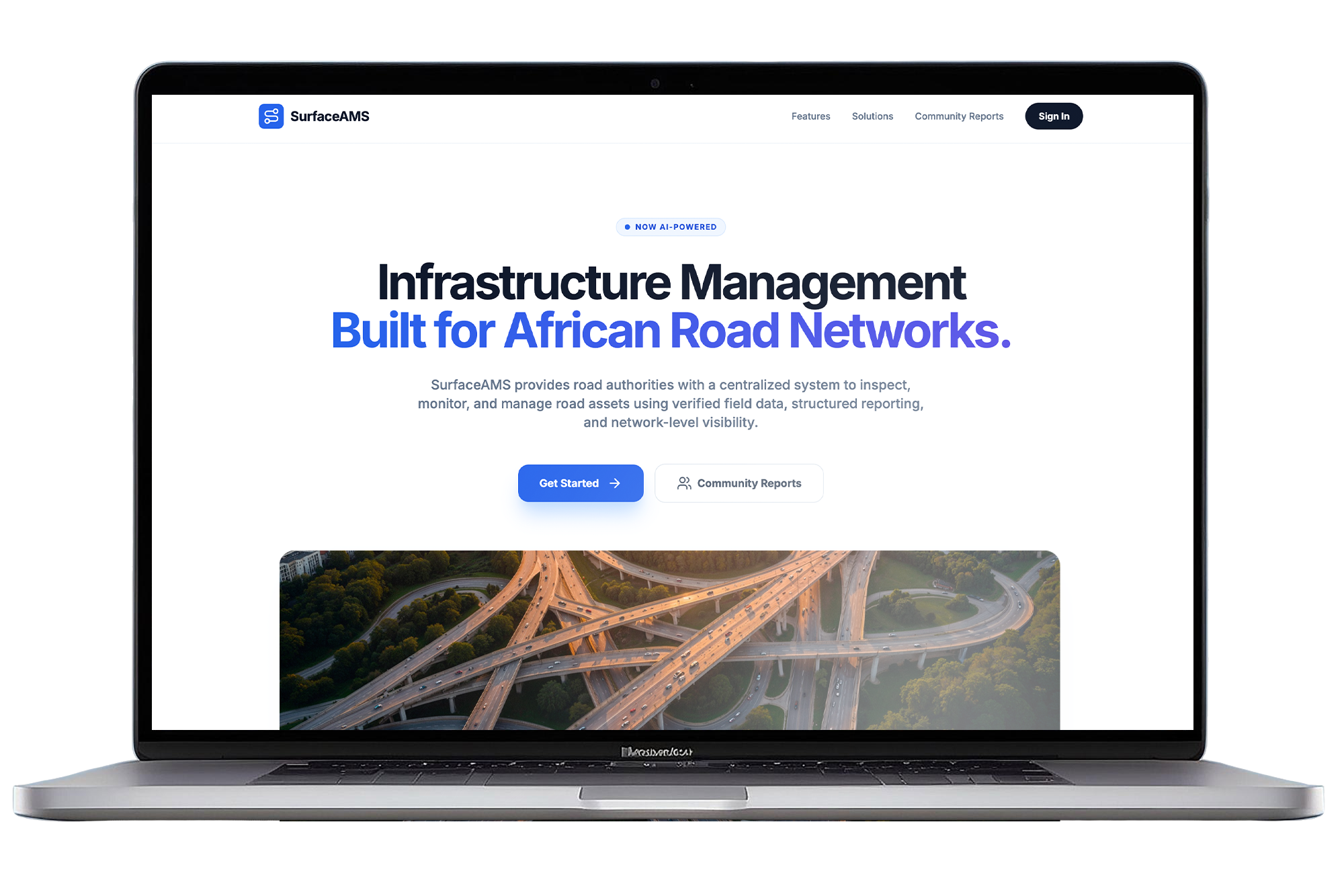
The Operating System for Road & Surface Assets
Plan, monitor, and manage road infrastructure with real-time data, AI-assisted insights, and full lifecycle visibility, built for authorities, municipalities, and contractors.
Background
For decades, infrastructure delivery has had a dirty secret: most road decisions are made with fragmented, outdated, and incomplete data.Inspections live in PDFs. Site photos sit on phones. Reports are weeks late. Planning happens in spreadsheets.
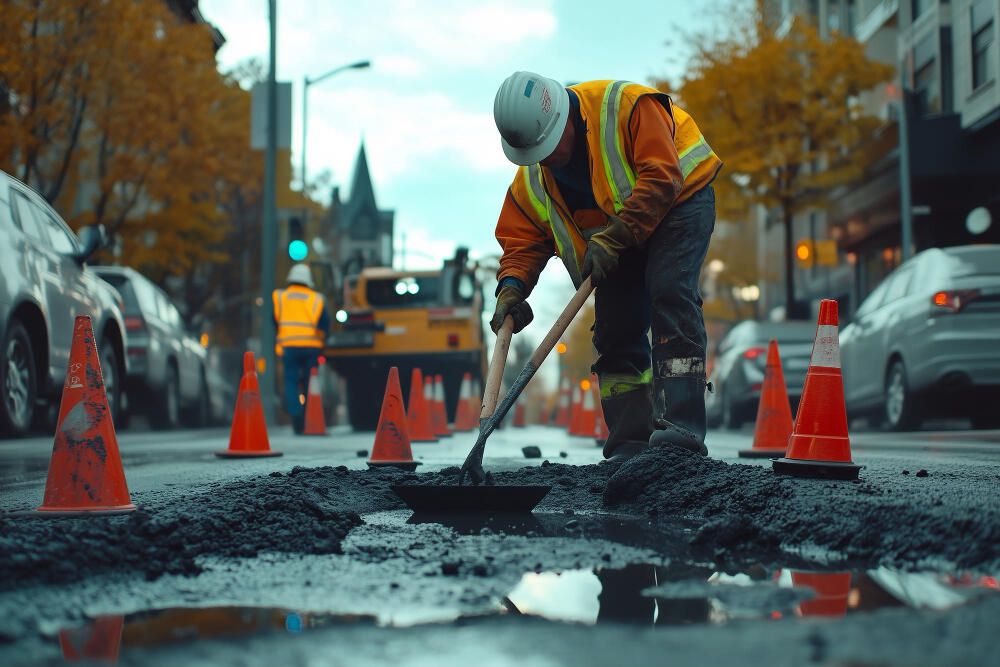

The result? Infrastructure management is reactive by default.
You fix the loudest problem, not the most critical one.Maintenance is delayed until failure.
Budgets are spent without a defensible, network-wide view.
Surface Asset Management System
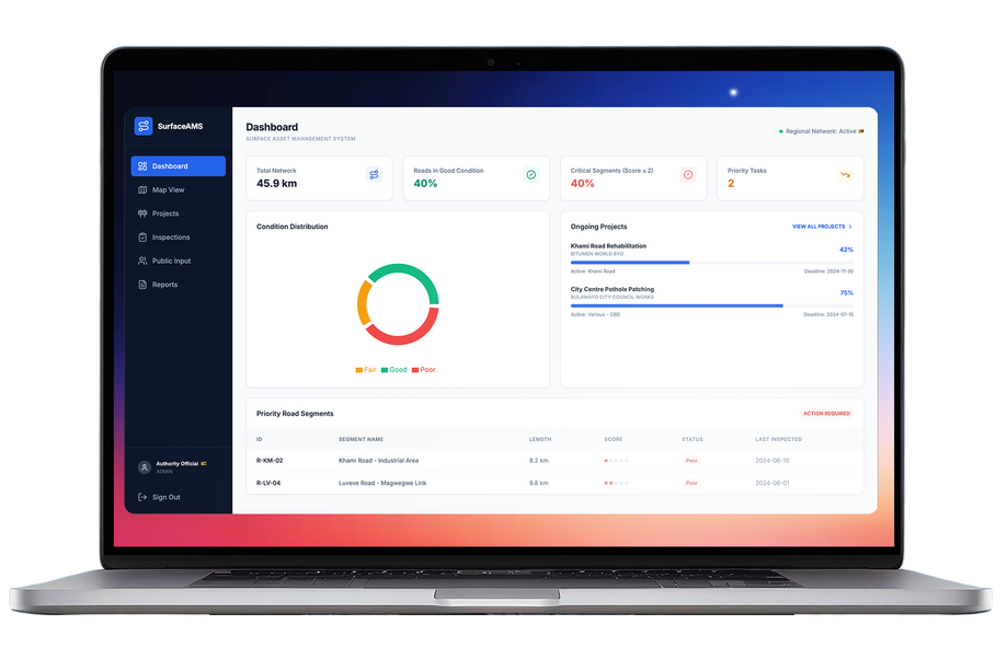
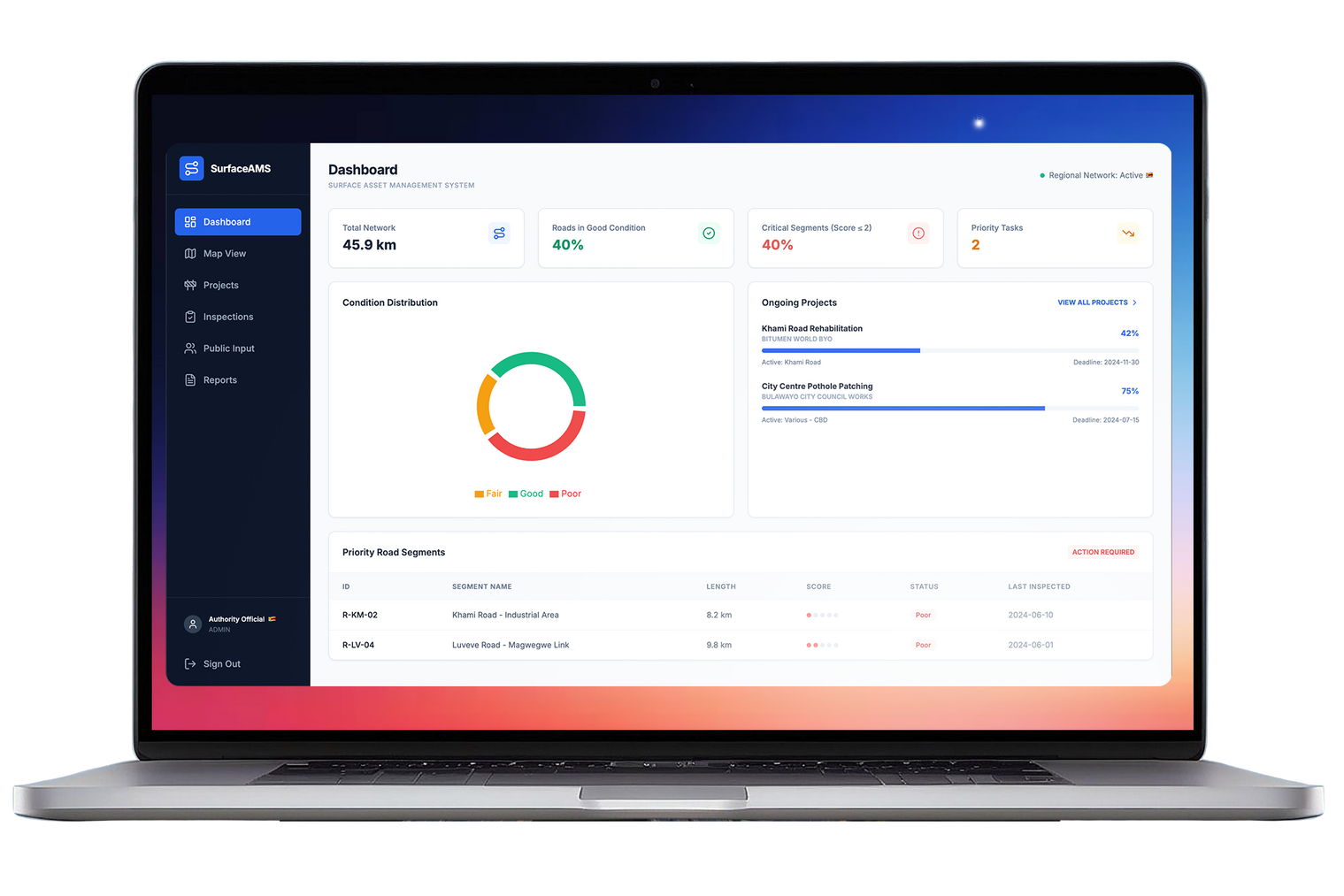
SurfaceAMS is a unified platform designed to manage road and surface assets across their entire lifecycle.
It brings inspections, field data, reporting, planning, and compliance into a single system; giving authorities, municipalities, and contractors real-time visibility of their networks and the confidence to make defensible, data-driven decisions.
Input: Disconnected inspections, photos, and reports.
Output: A real-time, auditable view of every metre of road.
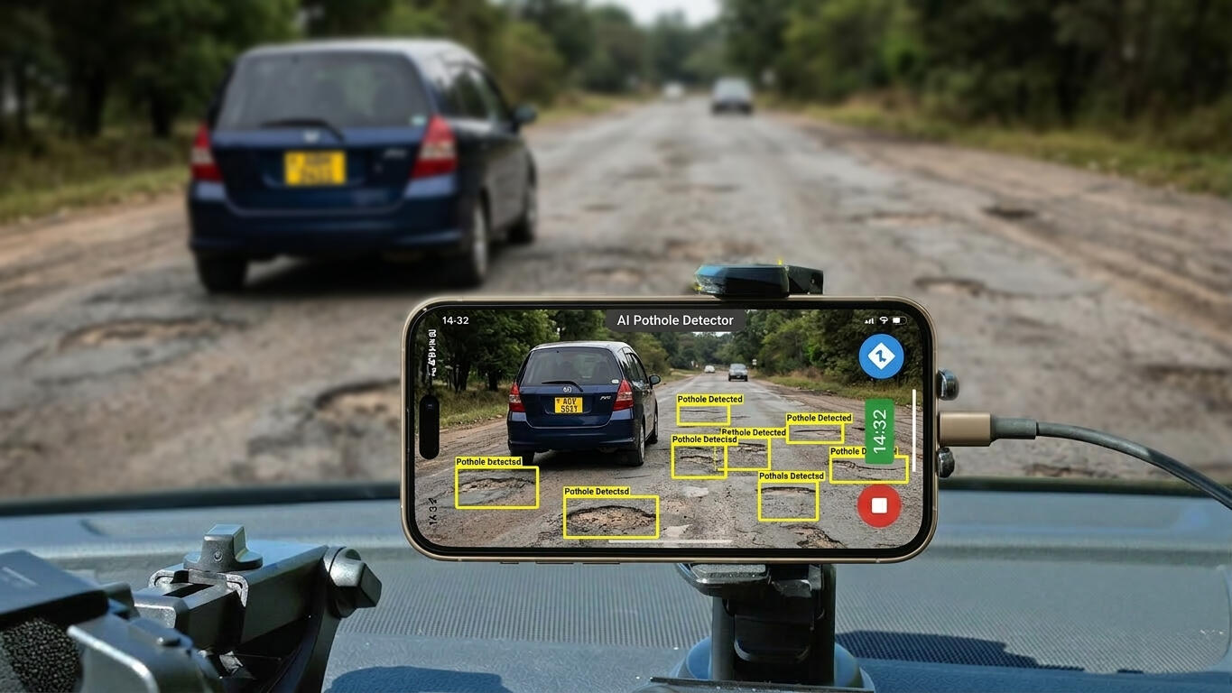
Using a mobile-first field app, teams capture geo-tagged photos and condition data, online or offline.
That data flows into a centralized system where AI-assisted reporting and prioritization turn raw observations into clear decisions.
This replaces reactive repairs with planned maintenance, reduces audit risk, and gives authorities and contractors confidence in how capital is allocated.
Who uses SurfaceAMS?
We are actively onboarding National Road Authorities across countries in South and East Africa. Interest in the solution is high and consultations are ongoing as to what features will be most impactful for their use. Targeting 10 MOUs signed for pre-seed partnerships.






Civil engineering contractors across the different countries are also on board with engineers giving guidance on how this platform will work best for them.
Infrastructure shouldn’t be managed in the dark.
SurfaceAMS makes it visible.
FixMyRoad
Community Sourced Data
How we got Road Authorities the data they were missing

This was the missing piece to a bigger project and an important solution to a problem with many unhappy stakeholders.The task was to get people a platform to submit information about the state of their roads, and keep it simple.Once that is done, get the data to the responsible road authorities. Done.
The final trimmed-down result is now live and speaks for itself.
The 1000 Visuals Project


⚠️Under Construction
⚠️Under Construction
Coming Soon